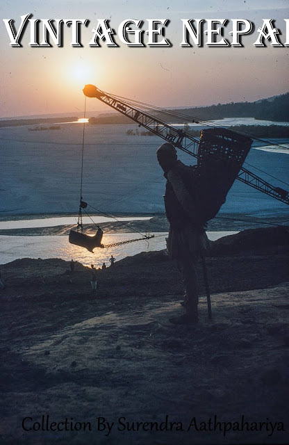
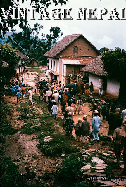
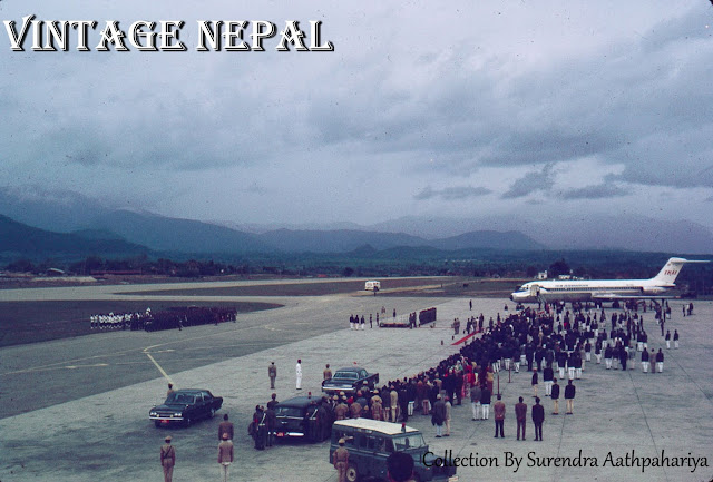
Posts

Showing posts from August, 2020

Tanahu

Image
Tanahun District   a part of  Gandaki Pradesh , is one of the seventy-seven districts of Nepal. The district, with Damauli a s its district headquarters, covers an area of 1,546 km 2  (597 sq mi) and has a population (2011) of 323,288. Previously the town of  Bandipur  was its district headquarter. This district lies in the middlemost of country Nepal.  Date: 2020 B.S. Location: Yangchowk, Tanahu Photo Authors : Roger Cranse Description: The woman is using a plant and ashes from the fire to clean the day's dishes. Date: 2030 B.S. Location: Chhang, Tanahu Photo Authors : Chuck Weaver Description: Village elders in Gurung village, one wearing a military cap. Date: 2020 B.S. Location: Yangchowk, Tanahu Photo Authors : Roger Cranse Description: A Magar village with homes set close together on a steep hillside about six hours walk from Bandipur. The prominent structure with whitewashed upper floor is home to Major Narbahadur Thapa.  Major Thapa served with the Gurkha Engineers in World

Dhankuta Bazaar 2020

Image
Dhankuta Bazaar 2020 Dhankuta Bazaar, on the North-South Koshi Highway.  Until about 1963 Dhankuta Bazaar (the town) was the administrative headquarters for the whole of north-eastern Nepal. Located a half-mile above the town were the buildings of the  Bada Hakim , the feudal district governor of the whole north-eastern region, a man with enormous power. The town also had the regional jail and army post. Because of Dhankuta's isolation from the lowland  Terai  and from  Kathmandu , it was in many ways a self-governing area. Dhankuta Bazaar, facing West Dhankuta Bazaar, facing North-West Dhankuta Bazaar, facing North Dhankuta Bazaar, facing North Dhankuta Bazaar, facing North Dhankuta Bazaar, facing East Dhankuta Bazaar, facing East Dhankuta Bazaar, facing South-West Dhankuta Bazaar, facing South Dhankuta Bazaar, facing South

Koshi Barrage Construction, Sunsari

Image
Koshi Barrage The Koshi Barrage is a sluice across the Koshi river that carries vehicular, bicycle, and pedestrian traffic between Saptari district and Sunsari district of Nepal. It is near the international border with India. It was built between 1958 and 1962 and has 56 gates. I t was constructed after the Koshi Agreement was signed between the Government of Nepal and India on April 25, 1954.  The barrage was designed and built by Joseph and Company Limited, India. The Koshi Tappu Wildlife Reserve  is roughly 3–4 miles north of the barrage. Opened :  1962 Total length :  1,150 m (3,773.0 ft) Construction started :  1958 Date: 2020/10 B.S. Location: Koshi Barrage, Sunsari Photo Authors : Larry Daloz Description: This is where the Arun River leaves the mountains and flows into the Terai. Silhouetted against the setting sun, a porter with doko contemplates a huge crane. The crane is part of the Indian-funded Arun River "barrage" (dam) project. Date: 2018 B.S. Location: Koshi B

Ropai Jatra, Dhankuta Bazaar

Image
Ropai Jatra festival procession participants are dressed as clowns in various disguises at Dhankuta Bazaar. Date: 2023/04 B.S. Location: Dhankuta Municipality Ward No-7, Hulaktole Photo Authors : Brian Cooke Description: Ropai Jatra procession through Hulaktole. Participants are dressed as clowns in various disguises.   Date: 2023/04 B.S. Location: Dhankuta Municipality Ward No-7, Hulaktole Photo Authors : Brian Cooke Description: Ropai Jatra procession through Hulaktole. Participants are dressed as clowns in various disguises. Date: 2023/04 B.S. Location: Dhankuta Municipality Ward No-7, Hulaktole Photo Authors : Brian Cooke Description: Ropai Jatra procession through Hulaktole. Participants are dressed as clowns in various disguises. Date: 2023/04 B.S. Location: Dhankuta Municipality Ward No-7, Hulaktole Photo Authors : Brian Cooke Description: Ropai Jatra procession through Hulaktole. Participants are dressed as clowns in various disguises. Date: 2026/4 B.S. Location: Dhanku

Tribhuvan International Airport, Kathmandu Nepal

Image
Tribhuvan International Airport is an international airport located in Kathmandu, Bagmati Pradesh, Nepal. The airport is named after Tribhuvan Bir Bikram Shah, former King of Nepal and is the only international airport in Nepal, operating with a tabletop runway, one domestic and an international terminal. Date: 2022 B.S. Location: Tribhuvan Airport, Kathmandu Photo Authors : Bob Nichols Description: Tribhuvan Airport. Dignitary  arriving or departing on Thai International jet, the first commercial airline to land jets at the airport. Date: 2022 B.S. Location: Tribhuvan Airport, Kathmandu Photo Authors : Bob Nichols Description: Description: Three children on the cement apron at Tribhuvan Airport; DC3s center, rear. Date: 2023 B.S. Location: Tribhuvan Airport, Kathmandu Photo Authors : Bob Nichols Description: Two DC3s at the Kathmandu Airport. Picture was taken in early 1967. Steps to get on the airplane (right) are being moved to one of the planes. Date: 2027 B.S. Location: Tribhuvan

Siraha Batispur

Image
Bastipur, Sagarmatha  is in Siraha District in the Sagarmatha Zone of Southern East of Nepal. Date: 2027 B.S. Location: Bastipur, Siraha Photo Authors : John Jacoby Description: Maitali house painting on a house's exterior wall. Date: 2027 B.S. Location: Bastipur, Siraha Photo Authors : John Jacoby Description: Goats foraging on field above a pokhari.   Date: 2027 B.S. Location: Bastipur, Siraha Photo Authors : John Jacoby Description: Pokhari. Temple in background.

Khumbu, Solukhumbu

Image
Khumbu  (also known as the  Everest Region ) is a region of northeastern Nepal on the Nepalese side of Mount Everest. It is part of the Solukhumbu District, which in turn is part of Province No. 1. Khumbu is one of three subregions of the main Khumbu and Sherpa settlement of the Himalaya, the other two being Solu and Pharak. It includes the town of Namche Bazaar as well as the villages of Thame, Khumjung, Pangboche, Pheriche and Kune. The famous Buddhist Montasery at Tengboche is also located in the Khumbu. The Khumbu's elevation ranges from 3,300 metres (11,000 feet) to the 8,848 m (29,029 ft) summit of Mount Everest, the highest place on Earth. The Khumbu region includes both Sagarmatha National Park and the Sagarmatha National Park Buffer Zone, between Lukla and Monju. The Khumbu is a glacier believed to be the result of the last great Ice Age, ~500,000 years ago. Date: 2020 B.S. Location: Khumbu, Solukhumbu Photo Authors : John Jacoby Description: Sherpa couple pose in their fi

Gai Jatra Festive In Dhankuta

Image
Gai Jatra, is a festival celebrated in Nepal, mainly in Kathmandu valley by the Newar community. The festival is generally celebrated in the month of Shrawan. The date is set according to the lunar Nepa and falls on the first day of the dark four night of the month of Gunla. Below pictures are from Dhankuta Municipality, Dhankuta. Date: 2025/04 B.S. Location: Dhankuta Municipality Ward No-7, Hulaktole Photo Authors : Dr. Peter Baker (BNMT,British-Nepal Medical Trust) Description: Gai Jatra procession through Hulaktole. Participants are dressed as clowns in various disguises. Date: 2022/04 B.S. Location: Dhankuta Municipality Ward No-7, Hulaktole Photo Authors : Brian Cooke Description: Children observing Gai Jatra procession through Hulaktole. Participants are dressed as clowns in various disguises. Date: 2026/04 B.S. Location: Dhankuta Municipality Ward No-7, Hulaktole Photo Authors : Dr. Peter Baker (BNMT,British-Nepal Medical Trust) Description: Gai Jatra, Newari Festival, Dha